
A recently published study in Quaternary Science Reviews sheds light on the complex landscape that once existed on the northwest continental shelf of Australia. This now-submerged region, which connected the Kimberley and western Arnhem Land, covered nearly 390,000 square kilometers—a landmass larger than New Zealand. The study suggests that this vast area was likely a single cultural zone, with similarities in technology, rock art, and languages between the Kimberley and Arnhem Land.
Archaeological evidence of human habitation on submerged continental shelves has been found around the world, including in the North Sea, Baltic Sea, and Mediterranean Sea. These underwater sites have provided valuable insights into the lives of past civilizations. The recent study focuses on the complex landscape that existed on the northwest shelf of Australia, which differed significantly from the landscape we see today.
To understand the changes in this region over the past 65,000 years, the researchers projected past sea levels onto high-resolution maps of the ocean floor. They discovered that during a period of low sea levels, an archipelago of islands appeared on the Northwest Shelf of Sahul, extending 500 kilometers towards the Indonesian island of Timor. This archipelago likely existed between 70,000 and 61,000 years ago and remained stable for approximately 9,000 years. The islands may have served as stepping stones for migration from Indonesia to Australia, thanks to their rich ecosystems.
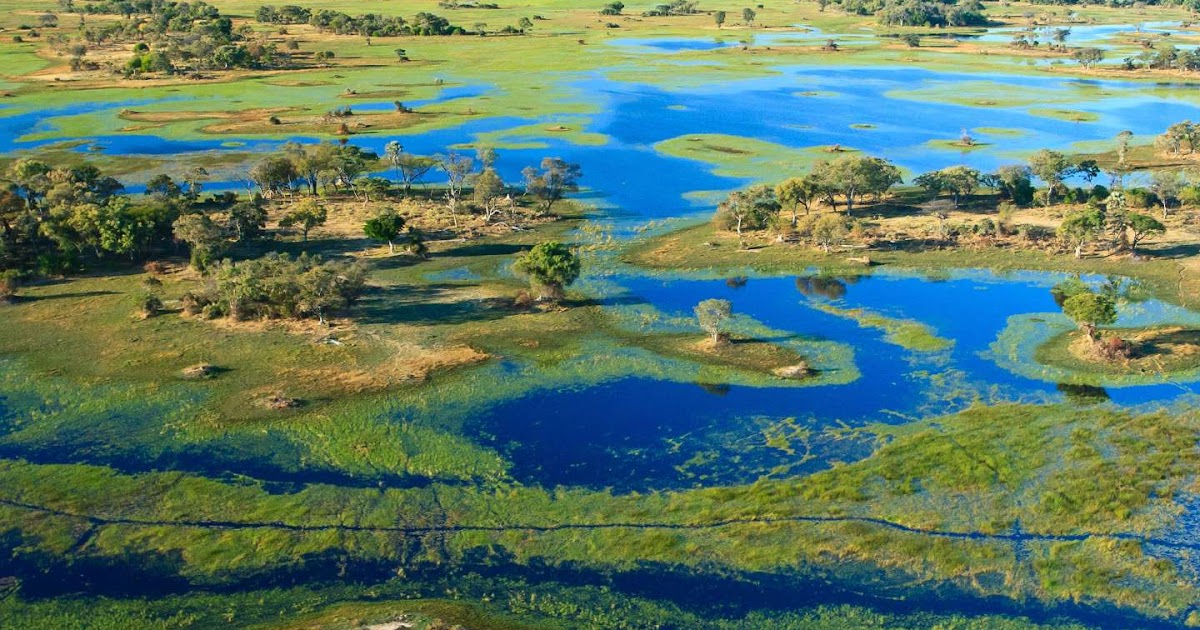
During the last ice age, as polar ice caps expanded and sea levels dropped by up to 120 meters, the entire northwest shelf of Australia was fully exposed for the first time in 100,000 years. The region consisted of a mosaic of habitable fresh and saltwater environments, including the Malita inland sea. This sea existed for 10,000 years, from 27,000 to 17,000 years ago, and covered an area larger than 18,000 square kilometers. A comparable example in the world today is the Sea of Marmara in Turkey.
The study also revealed the presence of a large lake located just 30 kilometers north of the modern-day Kimberley coastline during the last ice age. At its maximum extent, this lake would have been half the size of Lake Eyre. Ancient river channels, which are still visible on ocean floor maps, would have flowed into the inland sea and the lake.
Ecological modeling suggests that the now-submerged northwest shelf could have supported a population of between 50,000 and 500,000 people at various times over the past 65,000 years. The population would have peaked around 20,000 years ago, during the height of the last ice age when the entire shelf was dry land. This finding is supported by genetic research, which indicates large populations during this period based on data from people living in the Tiwi Islands to the east of the northwest shelf.
As sea levels rose at the end of the last ice age, the submerged shelf compelled people to retreat as it encroached upon once-inhabited areas. The shrinking land mass forced populations to consolidate, leading to the appearance of new rock art styles in both the Kimberley and Arnhem Land. Oral histories passed down by First Nations people along the coastal margin also mention the rising sea levels and the drowning of the landscape, highlighting the importance of Indigenous knowledge and experience in understanding and adapting to rapidly changing climates.
This study emphasizes the need for Indigenous-led environmental management, both in Australia and globally. Indigenous communities possess deep-time knowledge and experience that will be essential for successfully adapting to an uncertain future. Incorporating this knowledge into environmental decision-making is key to fostering resilience in the face of climate change.